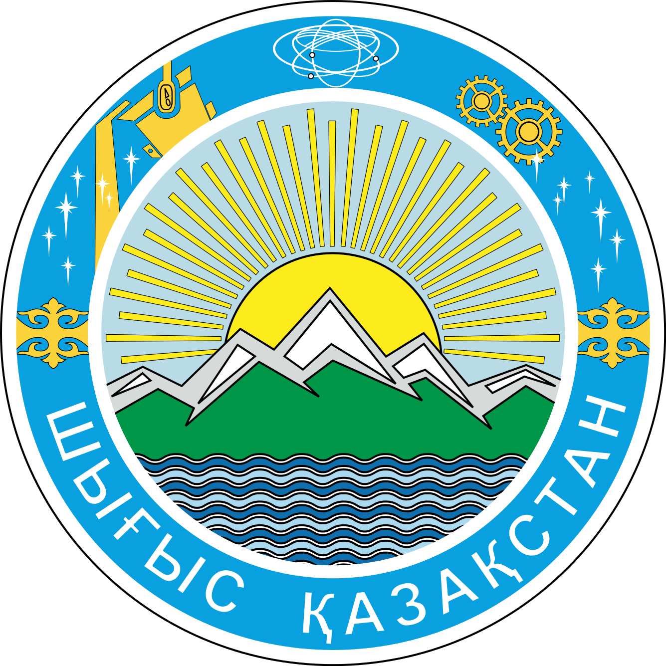
East Kazakhstan oblast

Мой Казахстан
East Kazakhstan oblast

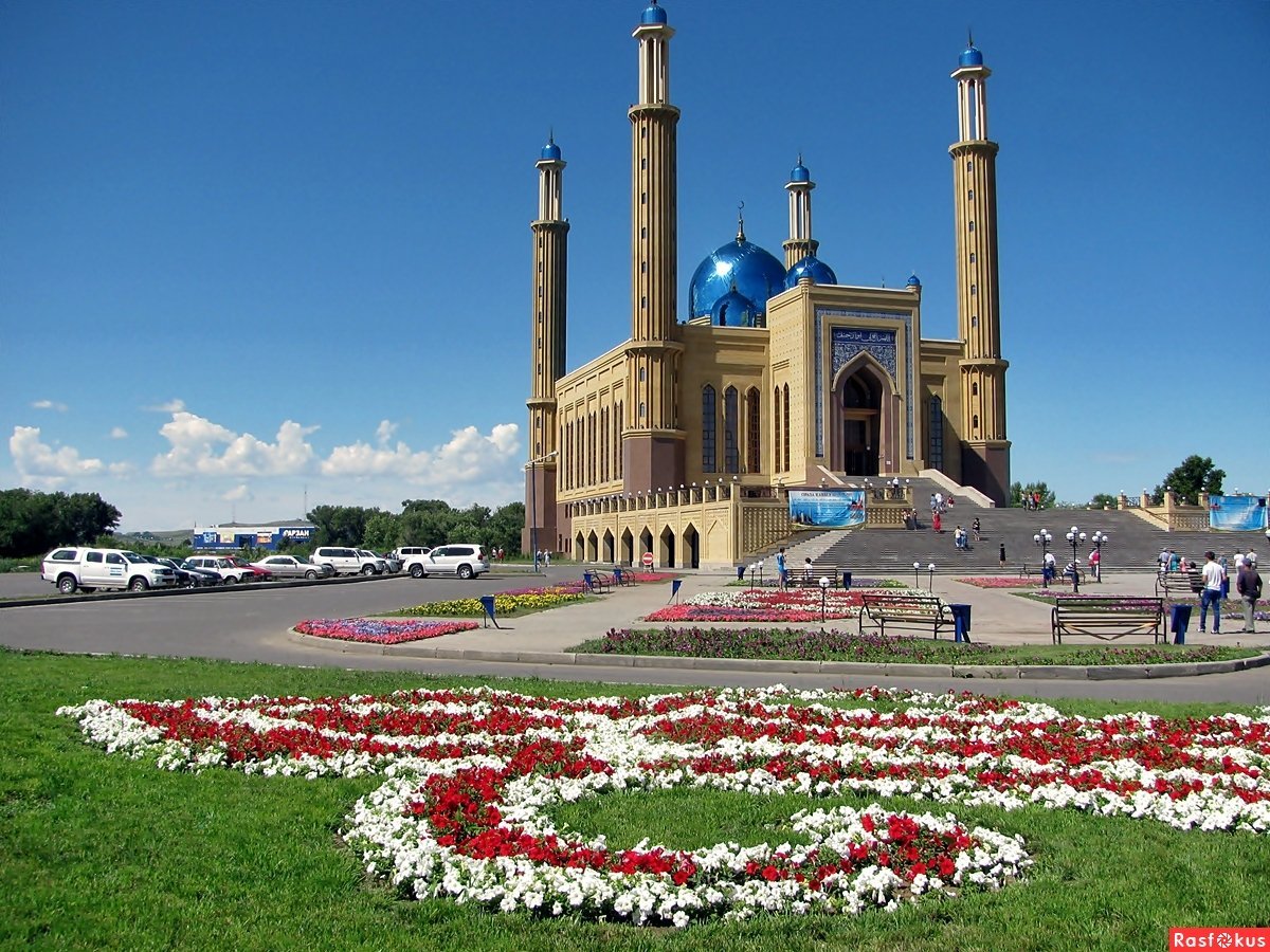
Ust-Kamenogorsk is the administrative center.
Geography
It borders on one oblast of Kazakhstan, one oblast of China and two oblasts of Russia: in the west — with the Abai oblast; in the east — with the Xinjiang Uygur Autonomous Region of China; in the north — with the Altai Territory and the Altai Republic of the Russian Federation.
The highest point is Mount Belukha.
The position of the East Kazakhstan oblast in the central part of Eurasia, as well as the Altai Mountains located on its territory.
Relief
A small territory of Eastern Kazakhstan is occupied by the Altai and Saur-Tarbagatai mountains with eternal glaciers on the tops, the Kalba mountain range, shallow rolling plains, wide basins, vast plains along rivers.
Hydrography
More than 40% of all water reserves in Kazakhstan are concentrated in the East Kazakhstan oblast.
Among the largest rivers are Black Irtysh, Bukhtarma, Kurchum, Kalzhyr, Narym, Uba, Ulba. The main waterway of the oblast is Irtysh, on which there are 2 hydroelectric power plants — Bukhtarma, and Ust-Kamenogorsk.
There are about a thousand lakes in the East Kazakhstan oblast with a size of more than 1 hectare. They are located unevenly across the territory — the largest number of lakes is concentrated in the northern and north-eastern parts of the oblast. The largest lakes of East Kazakhstan oblast are Zaisan, Markakol, Bukhtarminskoye, Ulmes, Karakol, Turangakol, Dubygalinskoye, Kemirkol.
Climate
The climate is extremely continental with large seasonal and diurnal temperature differences. Summers are hot and moderately dry, while winters are cold and snowy, and moderately cold in the foothills. The average temperatures of the winter months, according to the Ust-Kamenogorsk weather station, range from -12°C to -15°C, in the foothills of the Altai the temperature ranges from -9°C to -11°C. However, when the Arctic air masses invade, the temperature can drop to -42°C. Blizzards are a regular phenomenon in winter in the semi-deserts and steppes of the oblast, inversion fogs are frequent in the intermountain basins. The average maximum temperatures in July range from +25°C to +30°C. Maximum summer temperatures can reach +45°C. The average annual precipitation is from 300 to 600 mm, in the mountains — about 900 mm, in places up to 1500 mm.
History
Tribes of the Middle Zhuz lived in the territory of the East Kazakhstan oblast in the XIX century: Naimans (Bura, Karatai, Kokzharly, Karakerei, Sadyr, Tortuyl, Matai, Teristanbaly, Yergenekty, Saryzhomart, Aknaiman families), Kerei (Ashamaily, Abak), Uaks
On August 26, 1920, the Decree of the All-Russian Central Executive Committee and Council of People’s Commissars of the RSFSR “On the formation of the Kyrgyzskaya (Kazakhskaya) Autonomous Socialist Soviet Republic” was adopted, which included the Semipalatinsk oblast with uezds: Pavlodar, Semipalatinsk, Ust-Kamenogorsk, Zaisansky and Karkaralinsky. Semipalatinsk oblast (from December 11, 1920 — the province) was subordinated to Sibrevkom until April 1921. Based on the Decree of the Central Executive Committee of June 13, 1921, Bukhtarminsky and part of Zmeinogorsky uezds were transferred from Altai province to Semipalatinsk[3].
On January 17, 1928, the Semipalatinsk okrug, consisting of 23 districts, was formed from the Semipalatinsk, Ust-Kamenogorsk, Bukhtarma, Zaisan uezds of Semipalatinsk province and part of the Lepsinsky district of Zhetysu province. On December 17, 1930, the okrug, like all other okrugs of Kazakhskaya ASSR, was abolished, its districts were enlarged and transferred to direct subordination to the republican authorities.
East Kazakhstan oblast was formed on February 20, 1932 with the administrative center of the oblast in Semipalatinsk city, as part of 21 districts. On October 14, 1939, by Decree of the Presidium of the Supreme Soviet of the USSR, separate Semipalatinsk oblast was allocated from a part of East Kazakhstan oblast. The administrative center of the East Kazakhstan oblast, reduced in size, was moved to Ust-Kamenogorsk city. In 1997, the territory of the abolished Semipalatinsk oblast was included in East Kazakhstan oblast. The administrative center of the enlarged oblast remained in Ust-Kamenogorsk.
East Kazakhstan oblast of the sample of 1939-1997 mainly included the territories of seven of the fifteen (eastern and northeastern) modern districts of East Kazakhstan oblast (Glubokovsky, Zaisansky, Zyryanovsky, Kurshimsky, Katon-Karagaysky (regfional center in Ulken-Naryn village), Ulansky (the regional center in Kassym Kaissenov village), Shemonaikhinsky) and two from four modern cities of regional subordination of East Kazakhstan oblast (Ridder, Ust-Kamenogorsk). 712,693 inhabitants (50.23% of the modern East Kazakhstan oblast) live in this former territory of East Kazakhstan oblast, including 45% of Russians, 54% of Kazakhs, 1.35% of Germans, 0.96% of Tatars, 0.91% of Ukrainians, 1.46% of other nationalities (2010).
In March 2022, the President of Kazakhstan, Kassym-Jomart Tokayev has proposed to create Abai oblast, which will be separated from East Kazakhstan oblast. It will include the same districts and cities that were in Semipalatinsk.
Administrative division
The oblast includes (since June 2022):
9 districts:
1. Altai (Zyryanovsky) — the center is Altai city (Zyryanovsk)
2. Glubokovsky — the center is Glubokoye village
3. Zaisan — the center is Zaisan city
4. Katon-Karagaysky — the center is Ulken-Naryn village (Bolshenarymskoye)
5. Kurshimsky — the center is Kurshim village (Kurchum)
6. Samarsky — the center is Samara village
7. Tarbagatai — the center is Akzhar village
8. Ulansky — the center is Kassym Kaissenov village (Molodezhny)
9. Shemonaikhinsky — the center is Shemonaikha city
2 cities of regional subordination (city administrations):
1. Ridder (Leninogorsk)
2. Ust-Kamenogorsk
Contacts


