Ile-Alatau National Park

BACKGROUND INFORMATION
About Park

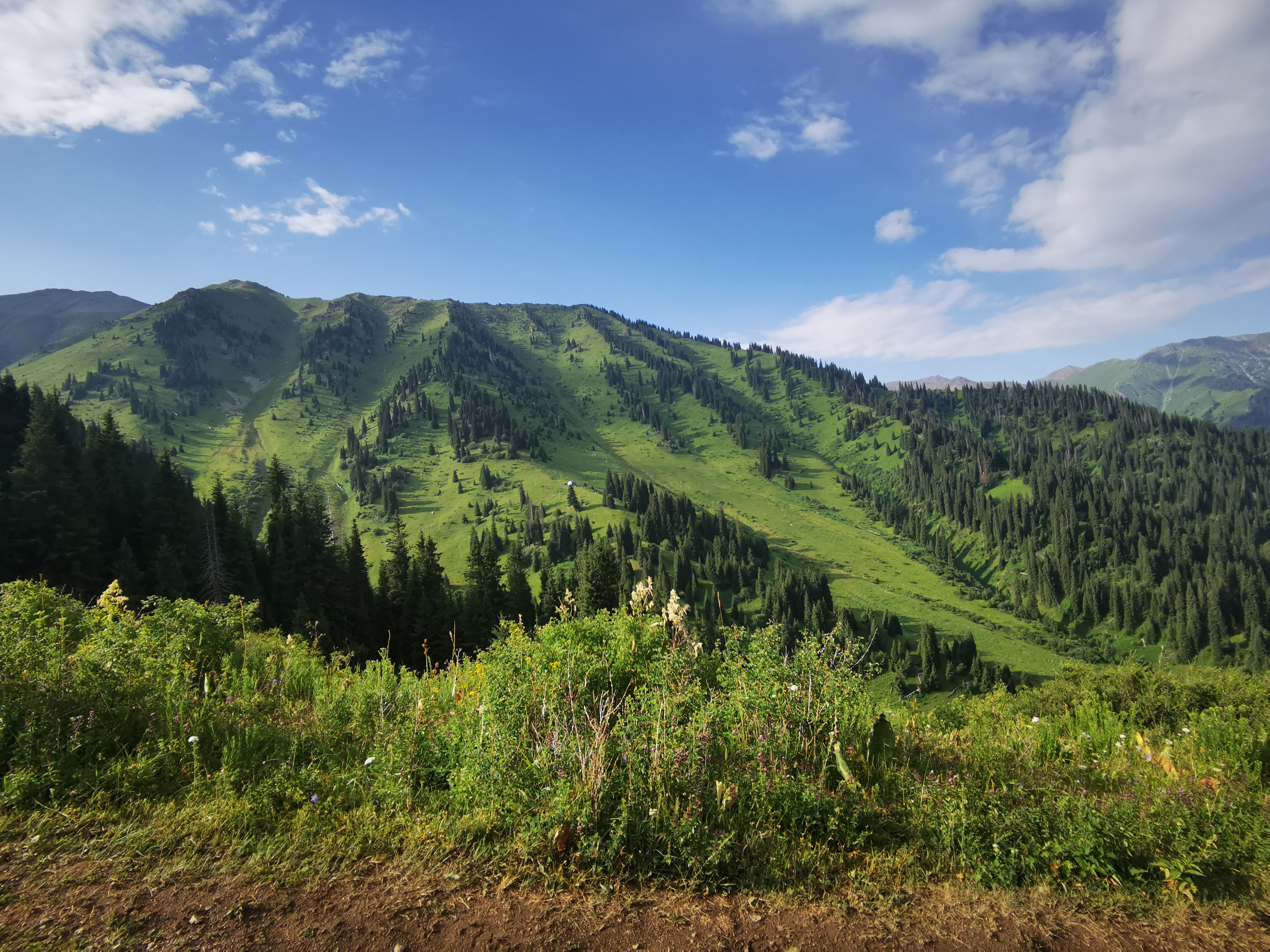
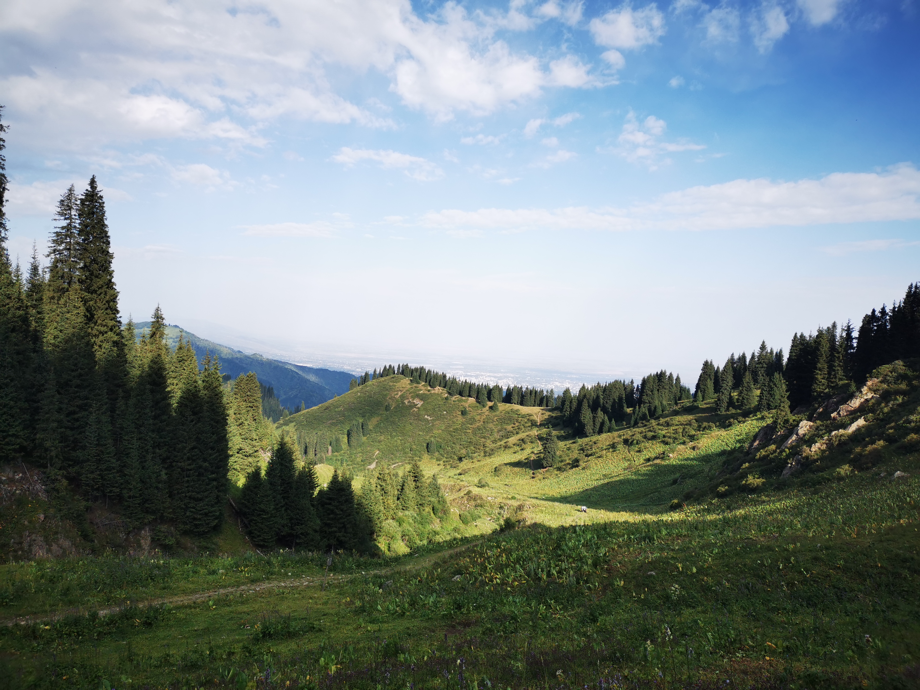
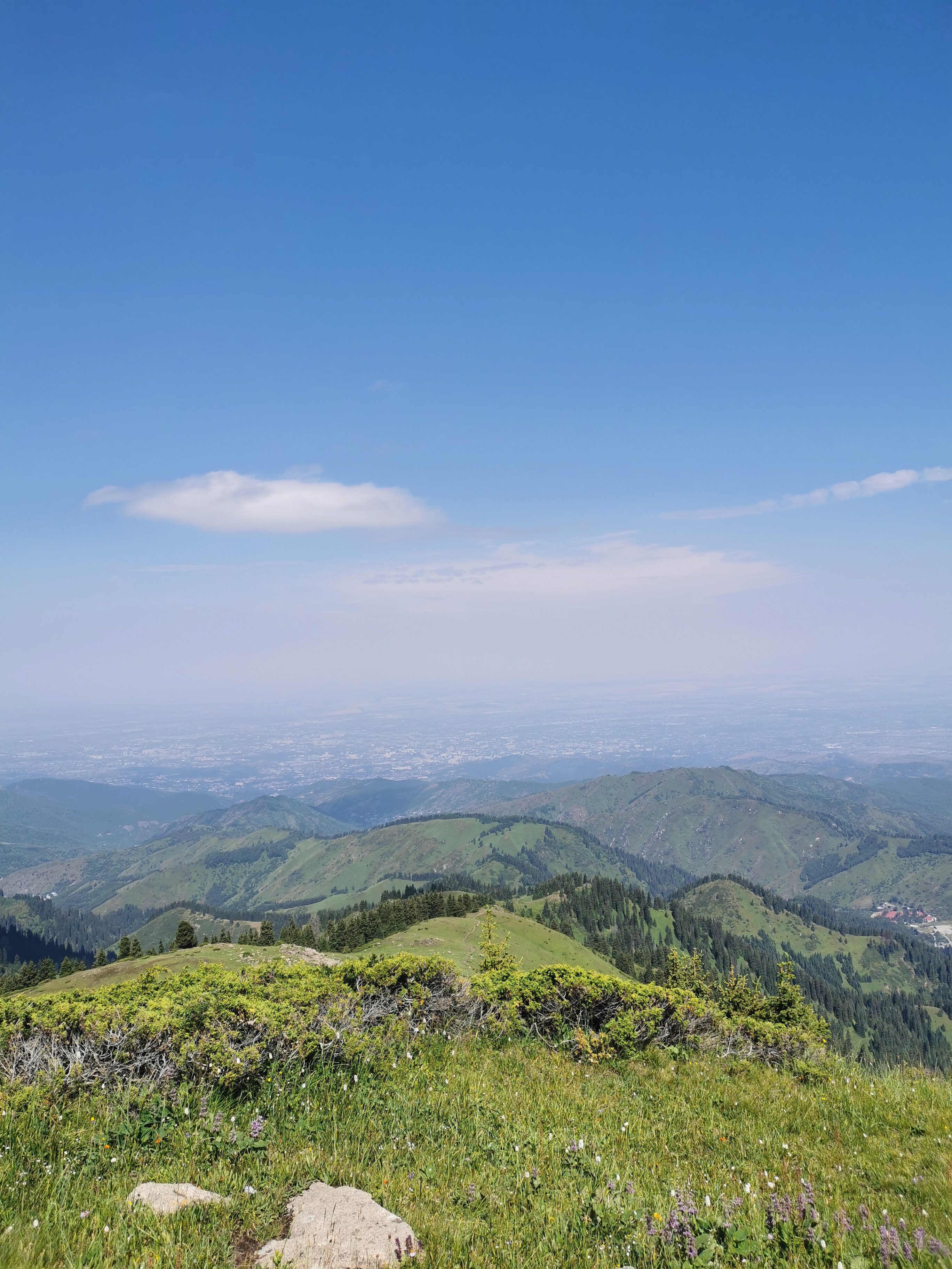
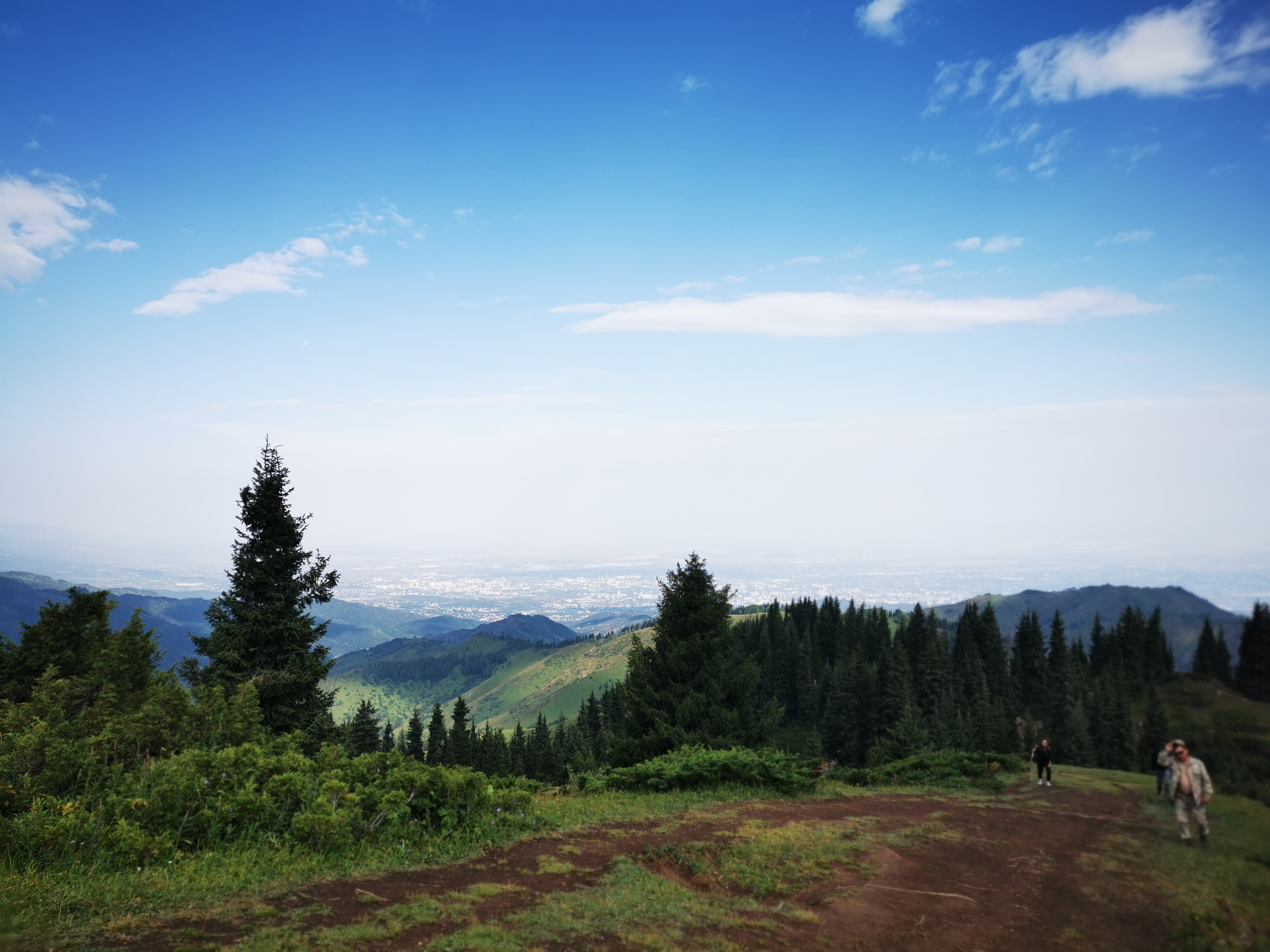
| Ile-Alatau State National Natural Park (in Kazakh Іле Алатауы мемлекеттік ұлттық табиғи паркі) was established by the Decree of the Government of the Republic of Kazakhstan of February 22, 1996 on the basis of the Kaskelen, Prigorodny and Turgen forestry enterprises within the Karasai, Talgar and Yenbekshikazakh districts of Alma-Ata region. The purpose of its creation is to preserve unique landscapes, flora and fauna, improve conditions for tourism and recreation, develop and implement scientific methods of conservation of natural complexes in conditions of recreational use. The area of the national park is 199,621 hectares, it is located south of Alma-Ata city on the northern macro slope of the Zailiyskiy Alatau (Tien Shan). The length of its territory from the Chemolgan River in the west to the Turgen River in the east is 120 km, and the width is 30-35 km. |
Location
Almaty region. Karasai district
Talgar district
Yenbekshikazakh district
Almaty
43.0400″ N. 77.1000″ E.
Talgar district
Yenbekshikazakh district
Almaty
43.0400″ N. 77.1000″ E.
Geography
| The territory of the park occupies the central part of the Zailiyskiy Alatau with a very difficult terrain. From under the mountain valleys, it can be seen that many second-order island ridges separating the main river basins depart from the main watershed ridge. The last ridges branch out and create a system of spurs of smaller orders. This morphological structure determines the direction of the main rivers flowing down from the northern slope. They refer to the Ili River basin. However, most of them, having reached the plain, are soon lost in sediments, and the main part of the runoff is spent by a person for communal, technical and agricultural needs. |
Flora
| The mountains of the Zailiyskiy Alatau, as well as the entire Northern Tien Shan, within which the national park is located, are distinguished by the richness and diversity of the flora. The study of the species composition of the flora of this specially protected natural area is still far from completion, but it is already known that about 2000 plant species are found here. The territory of Ile-Alatau is rich in ether–bearing plants. These are primarily ziziphora, kinds of thyme, of, as they called, «creeping thyme», nepeta nuda, entire-leaved dragonhead, as well as common tansy, fascicular pyrethrum, different types of sagebrush. The flora of mountain gorges and honey plants is no less rich. Mountain honey collected in the apiaries of the Tien Shan is especially popular among the residents of our country. Apart from common hardy-shrub species (apple, apricot, Tien Shan mountain ash, hawthorns, cotoneaster, pea shrubs), perennial herbs, such as origanum, Phlomis oreophila, white nettle (Lamium album), yellow bedstraw (Galium verum), leafy betony, desert sage and others, are good honey plants as well. In the middle belt firs with grass stands are often found for which little orchid is typical, – creeping hudaier, upright geranium and specimens of Grushankoviy family – monochromatic, orteal, little pear-tree. In natural boundary of Chynturgan, dense close fir plantations with strong mossy cover up to 60 sm high, closing a deep layer in spring frozen earth are developed on the steep slopes. In terms of the structure and composition of the flora they are similar to green strong Siberian Taiga and Ural, thus are protected in a status of monument of nature. |

Fauna
| The natural conditions of the National Park is much diversified, so that a great number of animal species can exist here. The vertebrate animal world includes about 270 species and subspecies of animals – 48 species of mammals, over 200 species of bird, 8 – reptiles, 4 – amphibians and 8 species of fish. The animals of the National Park inhabit in various conditions: from foothills and woodlands up to Alpine belt, on cliffs and glaciers, as well as in water reservoirs and in settlements.
|
Climate
| The climate in the national park is diverse and differentiated by altitude climatic zones. Summers are warm, winters are mild due to a pronounced inversion of air temperature. In the foothills the average temperature of January is 7.4ºC, and of July is +23ºC. The length of the frost-free period is 181days, annual precipitation is 560 mm. In the Maloalmatinskoye gorge (Medeu stow) at an altitude of 1530 m, the temperature in January is -4.3°C, in July - +18.1°C, the duration of the frost-free period is 145 days, 843 mm of precipitation falls per year. At an altitude of 3035 m (the Mynzhilki stow) in terms of eternal snow and glaciers, the average temperature in January is -11.3°C, in July - +7°C, the duration of the frost-free period is 53 days, 734 mm of precipitation falls per year. In the mountainous part of Zailiyskiy Alatau at an altitude of 3750 m, the climate is harsh, there is a lot of precipitation - 800-1300 mm, mainly in the form of snow. The warm period is very short — the average air temperature on glaciers in summer does not exceed +2.8°C. Snow cover according to long-term observations in the foothills (850 m) is set on December 6, in the middle mountains (1200-2500 m) - a month earlier, in the highlands (3000 m) — on October 21. In spring, snow falls at different heights and in different mountains from March 10 to May 22. The number of days with snow cover at different altitudes varies from 111 to 236. The height of the snow cover in the foothills is about 30 cm, in the middle mountains and highlands it can reach 100 cm. Zailiyskiy Alatau stands as a high advanced barrier to the northern and north-western moisture-carrying air masses, which freely penetrate through the main valleys deep into the mountains, causing a clear differentiation of natural landscapes at altitude. The territory of the park covers low-mountain, mid-mountain and high-mountain landscapes, which reflect the tiered structure of the mountains. |
The Red Book
| Plants, listed in the Red Book of the Republic of Kazakhstan: In the territory of the Ile Alatau National Park 35 species of flowering plants and 2 species of bryophytic plants from the Red Book of the Republic of Kazakhstan can be found. Another 6 species of flowering plants can be also found within the protected area of the Almaty State Integrated Nature Reserve, though they can be identified within the park area, too. |
Beauty sights
| On the territory of the park there are Kurgan burial mounds of the Early Iron age on the Assy plateau and at the Turgen Gorge, Saka burials along the banks of the Issyk River. Traces of a strong earthquake that occurred here more than 10 thousand years ago have been found on the right bank of the Turgen River. This detrital strata in the form of rocks of bizarre shape and various colors is a real monument of nature. Relict moss Chinturgen spruce forests are also a natural monument, where permafrost islands with an ice thickness of 2-3 m have been preserved under the cover of moss at a depth of 30-40 cm. Permafrost arrays located at such a low altitude are not found anywhere else in Zailiyskiy Alatau. The high-mountain landscape is unique, resembling the cold desert of the Inner Tien Shan, which is located along the axial part of the ridge on the Prokhodnoi passage. |
Photo gallery
Contacts
General questions
Expedition, events
Interaction with Media
Legal information
ACCESSION QUESTIONARY
Individual
Status (on the procedure of accession to members and membership in the RPA in PDF format)
Legal entity
Status (on the procedure of accession to members and membership in the RPA in PDF format)

Спасибо!
Ваша заявка успешно отправлена
Мы свяжемся с вами в ближайшее время
Submit a work to the “My Kazakhstan” contest

Спасибо!
Ваше фото успешно отправлено
Ожидайте выбора победителей!

Спасибо!
Ваш заказ успешно отправлен
Мы свяжемся с вами в ближайшее время

 +2 °С
+2 °С
 -7...-4 °С
 560 mm
 +23 °С
 1,7 m/s


