Sairam-Ugam National Park
BACKGROUND INFORMATION
About Park

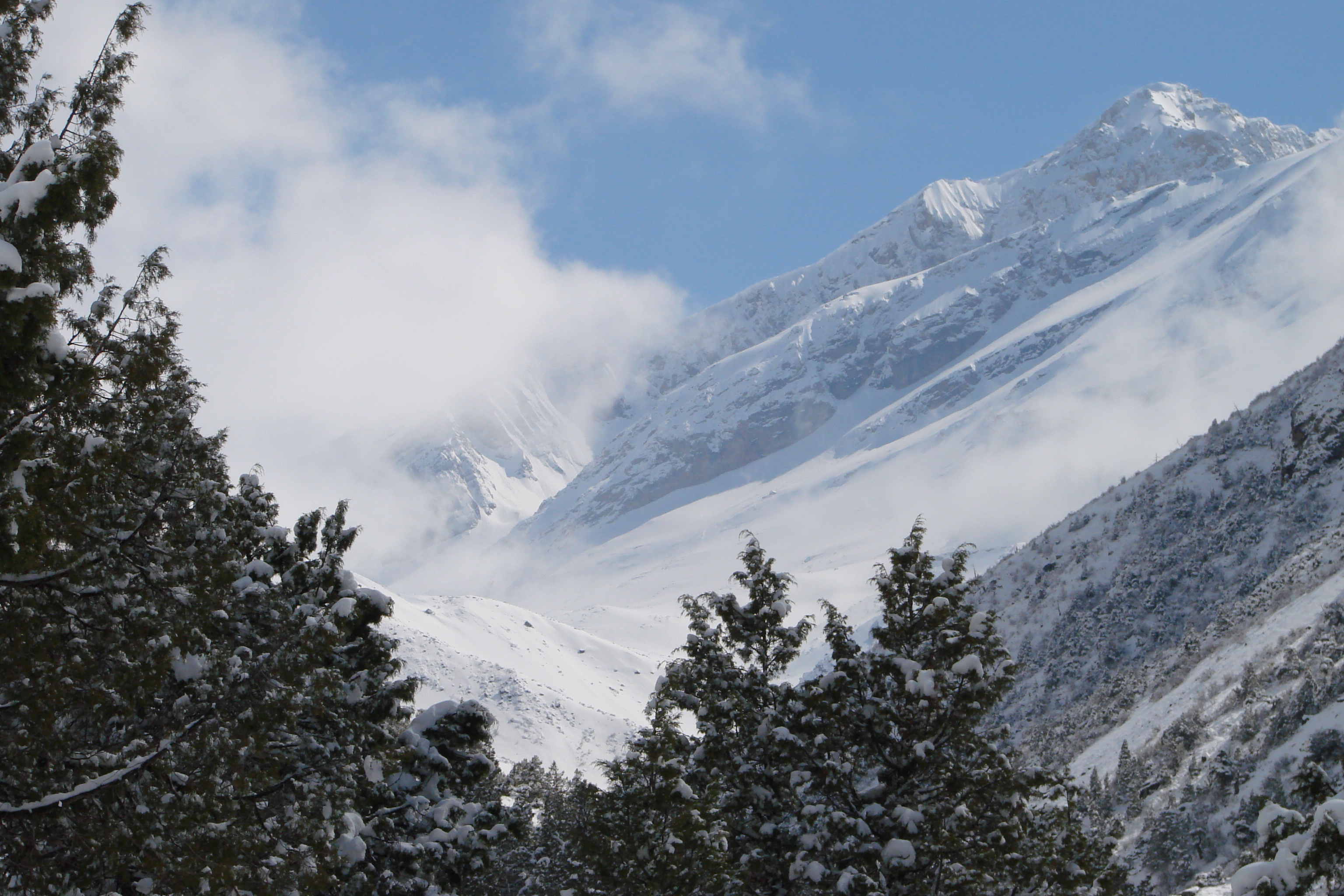
Sairam-Ugamsky State National Natural Park (in Kazakh Сайрам-Өгем мемлекеттік ұлттық табиғи паркі) is a national park in the Kazygurt, Tolebi and Tulkubas districts of the Turkestan region of Kazakhstan, 280 km from Turkestan. It is located in the northern part of the Western Tien Shan, it includes the spurs of the Talas Alatau, as well as the Ugam, Karzhantau and Boraldaytau massifs.
Location
Turkestan region. Kazygurt district Tolebi district Tyulkubas district.
42.00″ N. 70.06″ E.
42.00″ N. 70.06″ E.
Geography
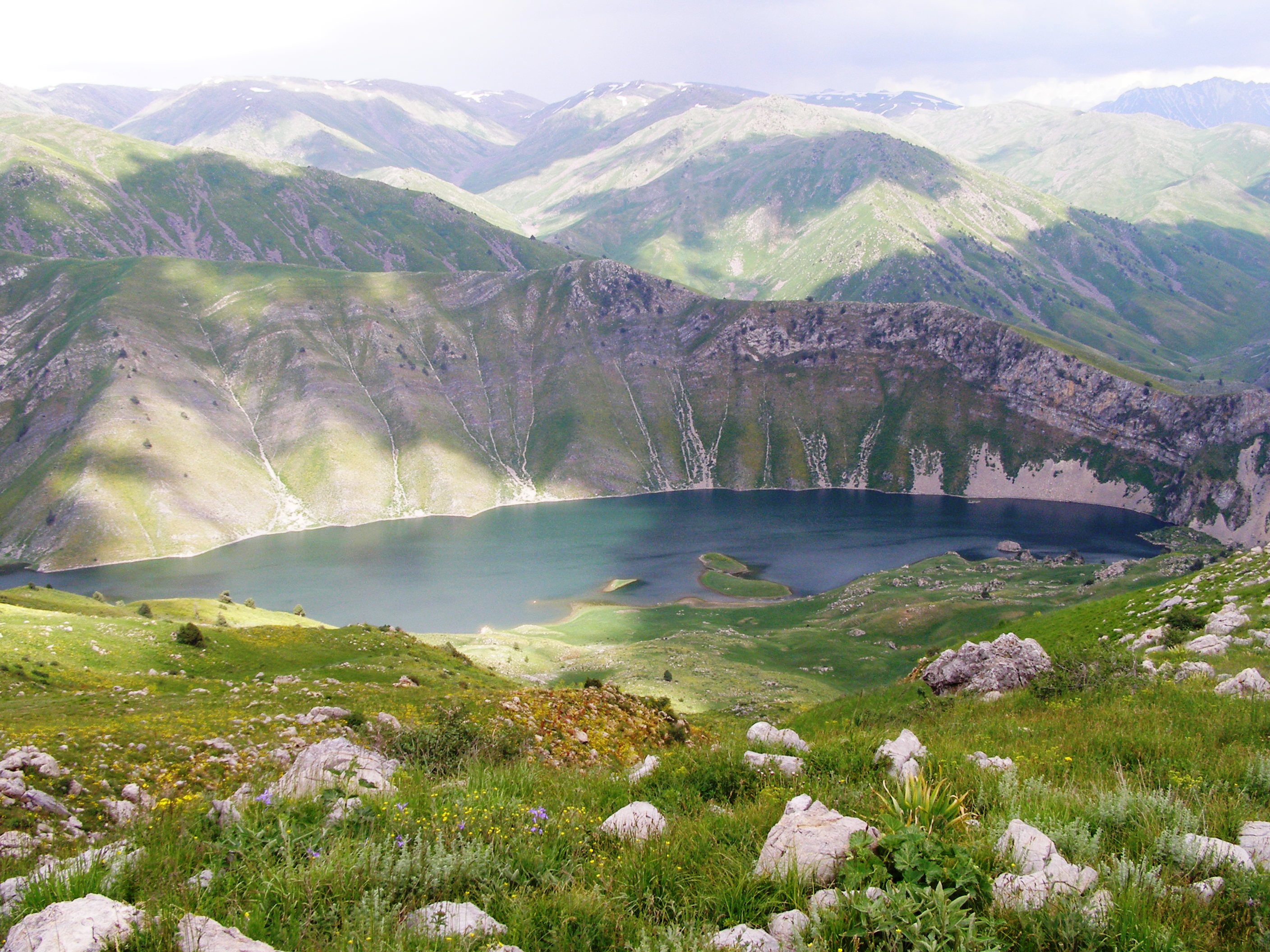
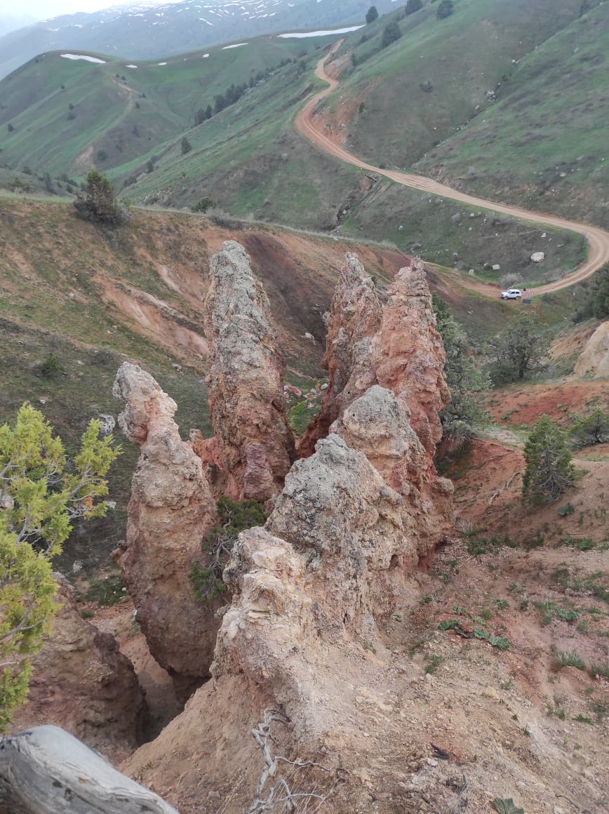
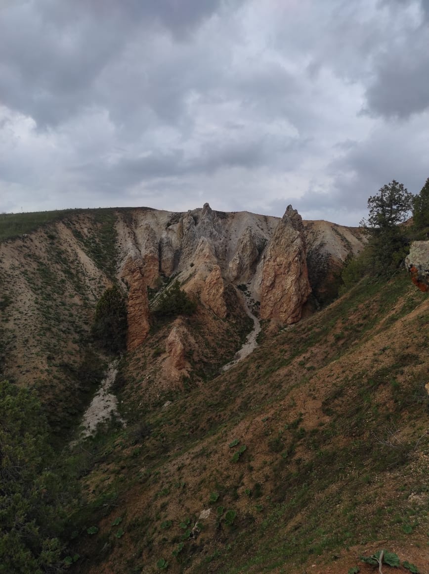
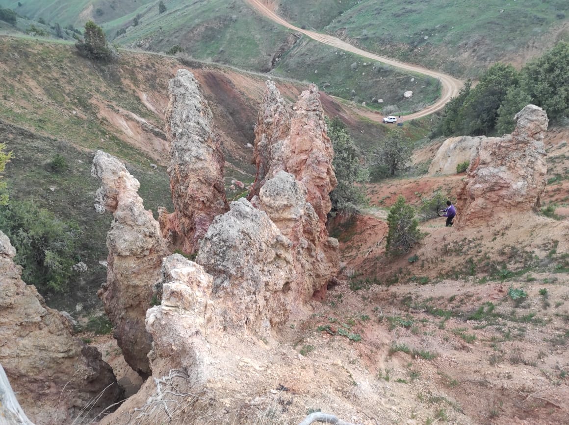
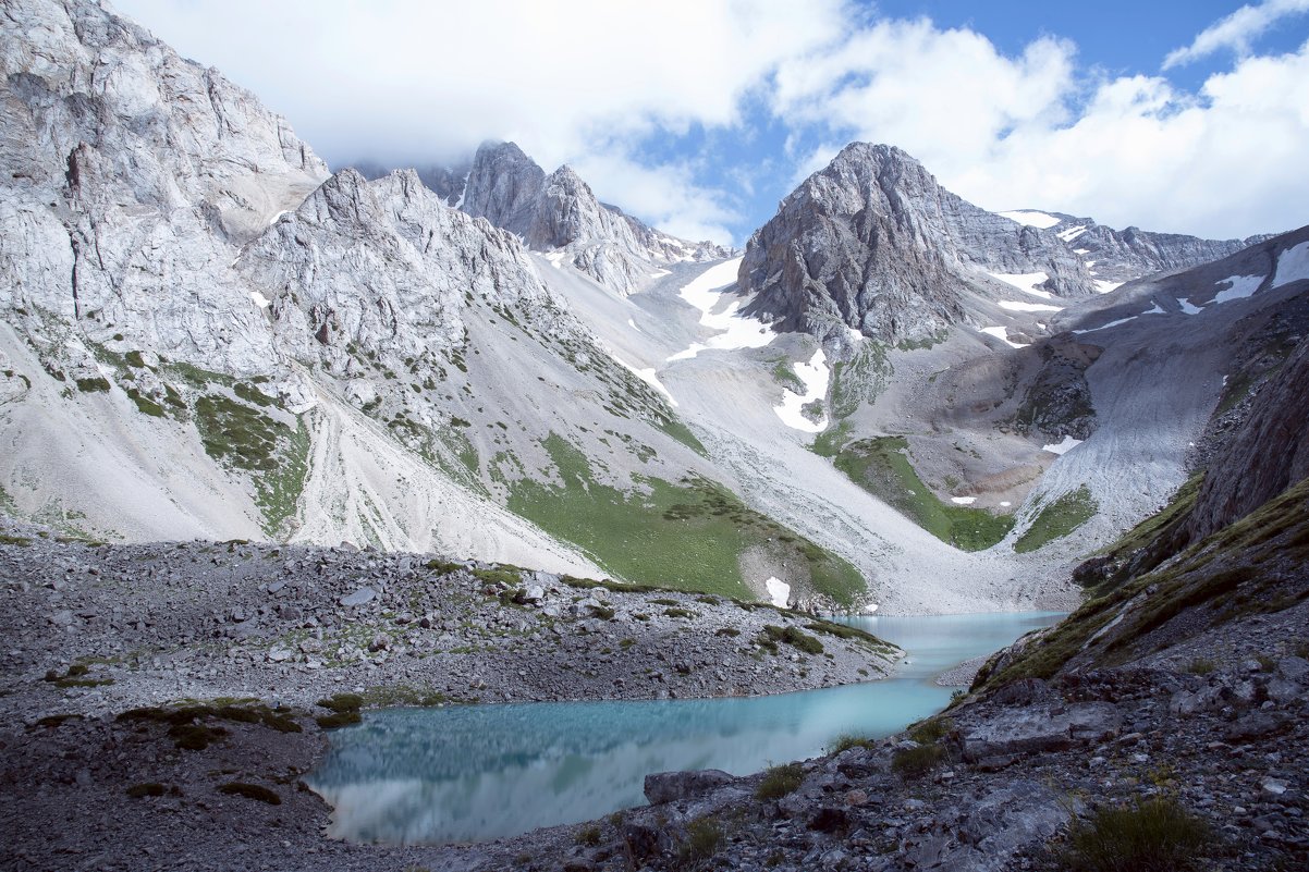
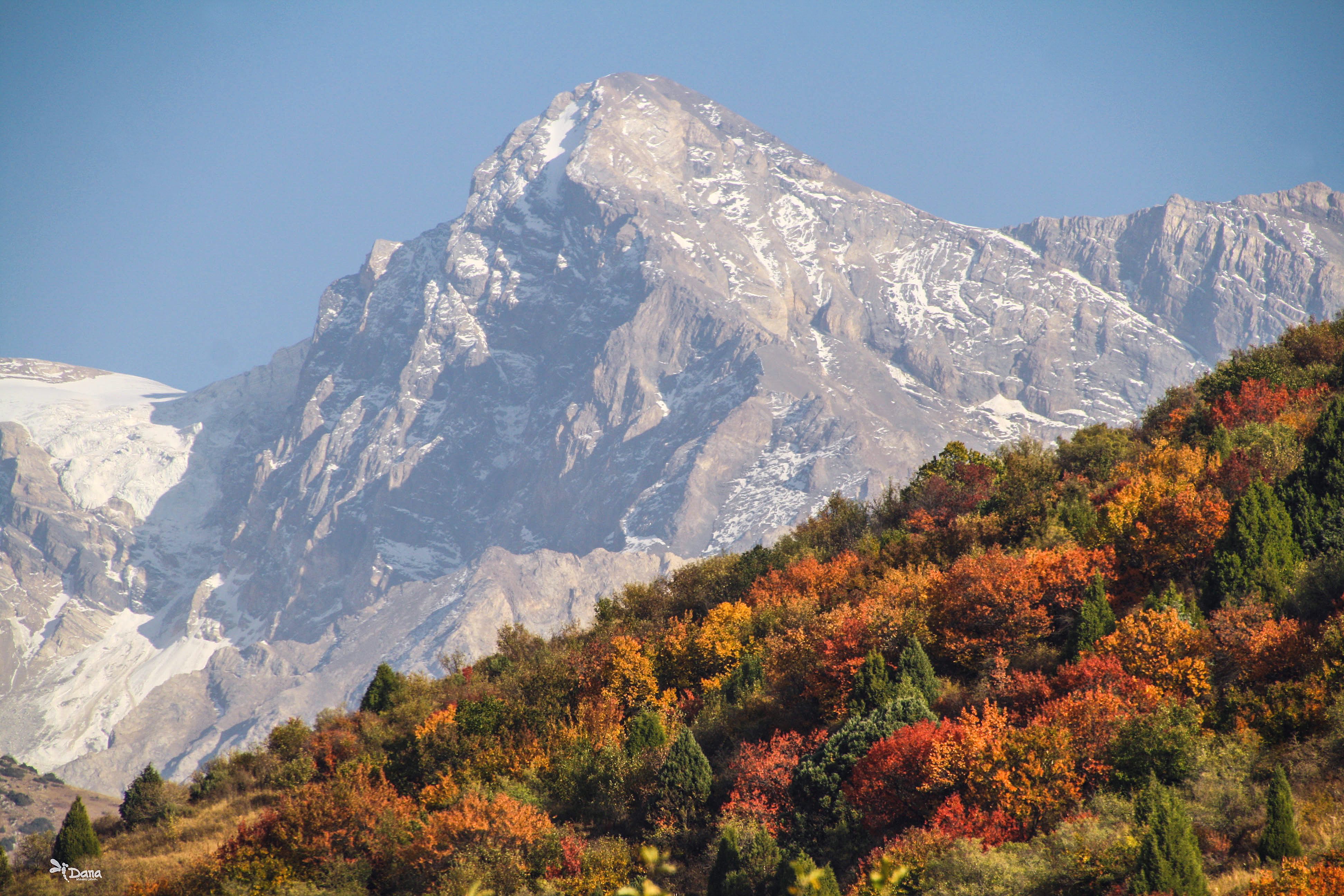
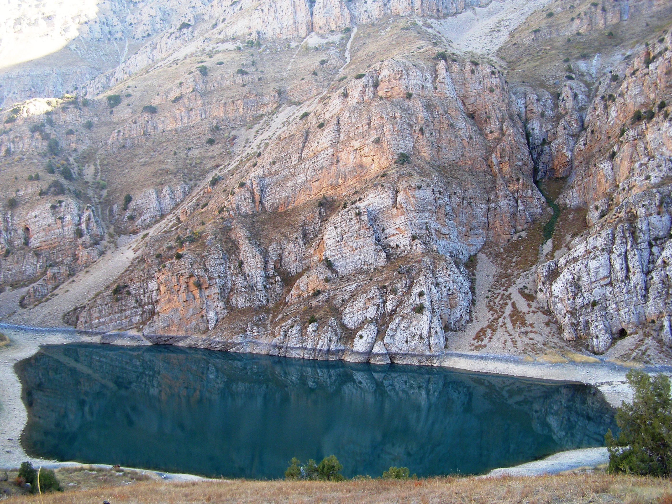
| The territory of the national park is divided into three zones with different access modes: protected mode (access is closed), tourist and recreational. On the territory of the national park there are such tourist sites as: Sairamsky Peak, whose height is 4236 m above sea level; Kyryk kyz rocks, which means in Kazakh “kyryk” - forty, “kyz” - girl; Makpal Lake, located at an altitude of 2100 m above sea level; high-altitude Susyngen Lake (1700 m above sea level), it is translated from Kazakh “water went into the ground”; rock paintings in the upper part of the gorge of Sazanata River. Here Greig’s tulips grow. |
Flora and Fauna
On the territory of the Sairam-Ugamsky SNNP there are 1,635 plant species, of which 62 are red-listed: Greig’s tulip, Kaufman’s tulip, Asian wild apple, Nedzvetsky apple tree (Malus niedzwetzkyana), Caucasian hackberry, Karatavian onion, Korolkov’s arum (Arum korolkowii), Seravshan juniper (Juniperus seravschanica Kom.), Pskem onion (Allium pskemense), Yanchevsky gooseberry (Ribes janczewskii), etc.
|
Climate
Tourism
| Tourism 7 tourist routes have been developed on the territories of the park, the passports of which were approved by order of the Forestry and Hunting Committee No.93 of April 01, 2008. Route No.1 – Makpal Lake. The type of movement is equestrian, the main points in the routes are the Ugamsky cordon ridge, Ugam- Diermenbastau gorge along the way. The length of the route is 45 km. Route No.2 – Susingen Lake. The type of movement – on foot, equestrian. Main points in the routes: Ugamsky cordon – the Ugam River – the Aigyrzhykkan River - Zhauzhurek passage – Akkoilek stow – Togutba passage. The length of the route is 31 km. Route No. 3 – Petroglyphs of the Sazan Ata River. The type of movement is equestrian, on foot. The main points in the routes: Altex STF camping - Sairamsu River - Sazanata brrok - Silbili Lake - upper reaches of the Sazan Ata. The length of the route is 12 km. Route No.4 - Sairamsu Kol Lake. The type of movement is on foot. The main points in the routes: Altex STF camping - Sairamsu River - Kyrchishly brook – Kopzhailau brook – Sairamsu Kol Lake The length of the route is 14 km. Route No.5 – Saryaigyr River – Susingen Lake - Yuzhnaya Campsite. The type of movement – on foot, equestrian. The main points in the routes: Saryaigyr Cordon – Saryaigyr River – Mynzhylky stow – Tikenek passage – Akburkhan River – Ulyzhurt passage - Kishzhurt passage – Kyrykkyz stow – Badam River – Badamsky cordon. The length of the route is 72 km. Route No.6 – Boztorgai brook. The type of movement is on foot (alpenist). The main points in the routes: Boraldai Tau Mountains – Kokbulak Cordon - Boztorgai brook. The length of the route is 72 km. Route No.7 – Vladislav Peak. The type of movement is on foot (alpenist). The main points in the routes: Altex STF Camping - Sairamsu River - Kopzhailau River (gorge of wild climbers) – Snezhny passage (3350 m), Vladislav Peak (3632). The length of the route is 30 km. Route No.8 Kaskasu River – Susingen Lake. The main points in the route are Kaskasu River, Kaskasu Cordon, Kyrzhulysai Passage, Ushkarasai River, Susingen River, Susingen Lake. The type of movement – on foot, equestrian. The main points on the routes are: the birch grove of Tekenek, Ak-Kuilyuk gorge, Kyzylzhailau stow (including the return along the same path). The length of the route is 32 km. Route No.9 Saryaigyr River Gorge. The type of movement – on foot, seasonal and group movements, 13 km (including return along the same path) back and forth 7h. 30 min. (taking into account stops and halts). Route No.10 Colony of Birds (Ptichiy Bazar). Cognitive, hiking, seasonal, individual and group, 7 km (including return along the same path) 4 hours 45 minutes (including stops). Route No.11 Ushbastobe Ancient Settlement |
The type of movement - on foot, horseback, seasonal, group and individual, 42 km (including the return road) Terms of operation - June - September.
Photo gallery
Contacts
General questions
Expedition, events
Interaction with Media
Legal information
ACCESSION QUESTIONARY
Individual
Status (on the procedure of accession to members and membership in the RPA in PDF format)
Legal entity
Status (on the procedure of accession to members and membership in the RPA in PDF format)

Спасибо!
Ваша заявка успешно отправлена
Мы свяжемся с вами в ближайшее время
Submit a work to the “My Kazakhstan” contest

Спасибо!
Ваше фото успешно отправлено
Ожидайте выбора победителей!

Спасибо!
Ваш заказ успешно отправлен
Мы свяжемся с вами в ближайшее время

 2 °С
2 °С
 -12 °С
 824 mm
 +25 °С
 2-7 m/s
