Kokshetau National Park
BACKGROUND INFORMATION
About park
| Kokshetau State National Nature Park (in Kazakh «Көкшетау» мемлекеттік ұлттық табиғи паркі) is a national park in Zerenda district of Akmola region and Aiyrtau district of North Kazakhstan region of Kazakhstan. It was formed according to Decree of the Government of the Republic of Kazakhstan No.415 of April 10, 1996. |
Location
Akmola region
North Kazakhstan region. Zerenda district Aiyrtau district
52.5311″ N. 68.2805″ E.
North Kazakhstan region. Zerenda district Aiyrtau district
52.5311″ N. 68.2805″ E.
Geography
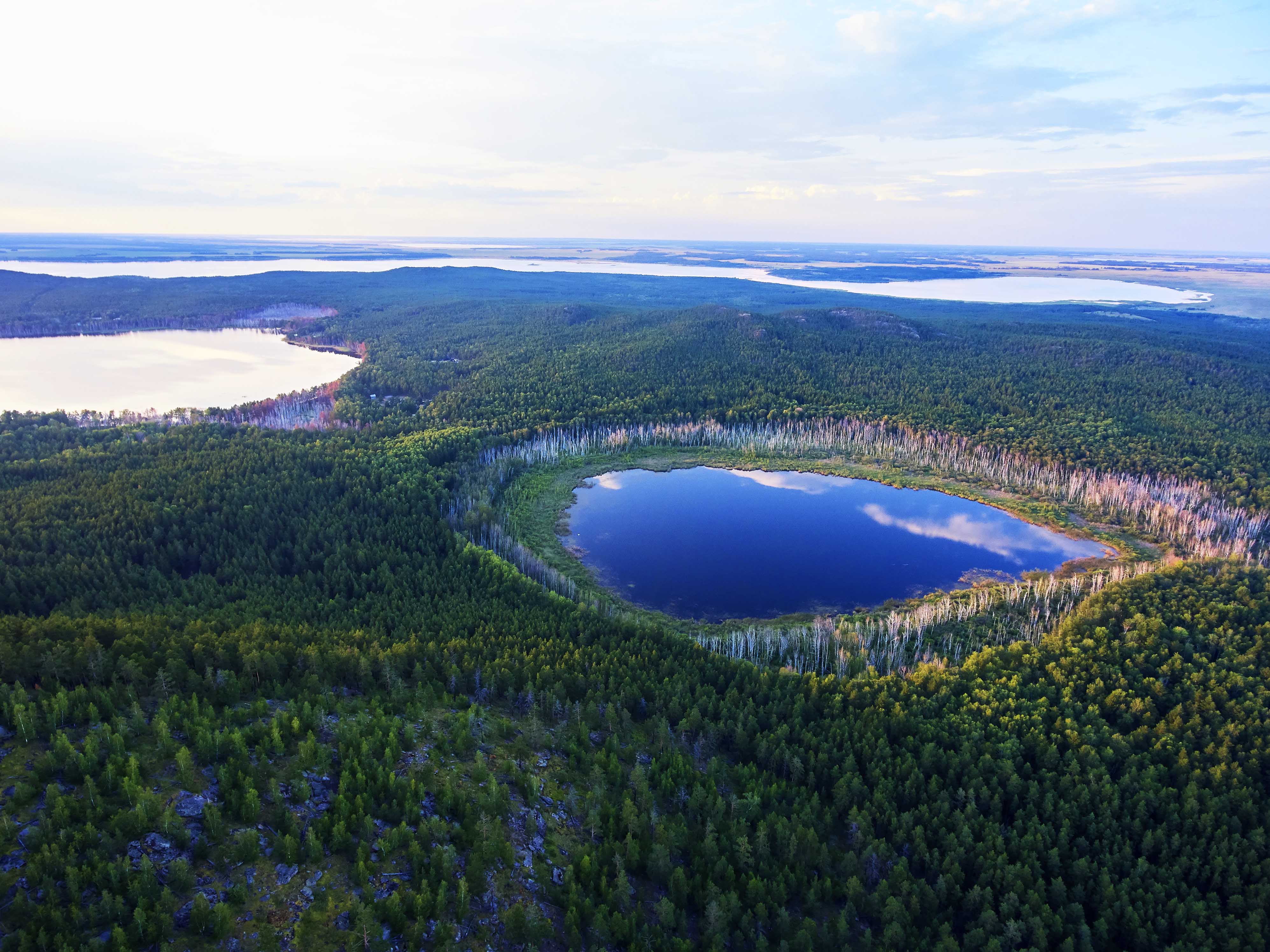
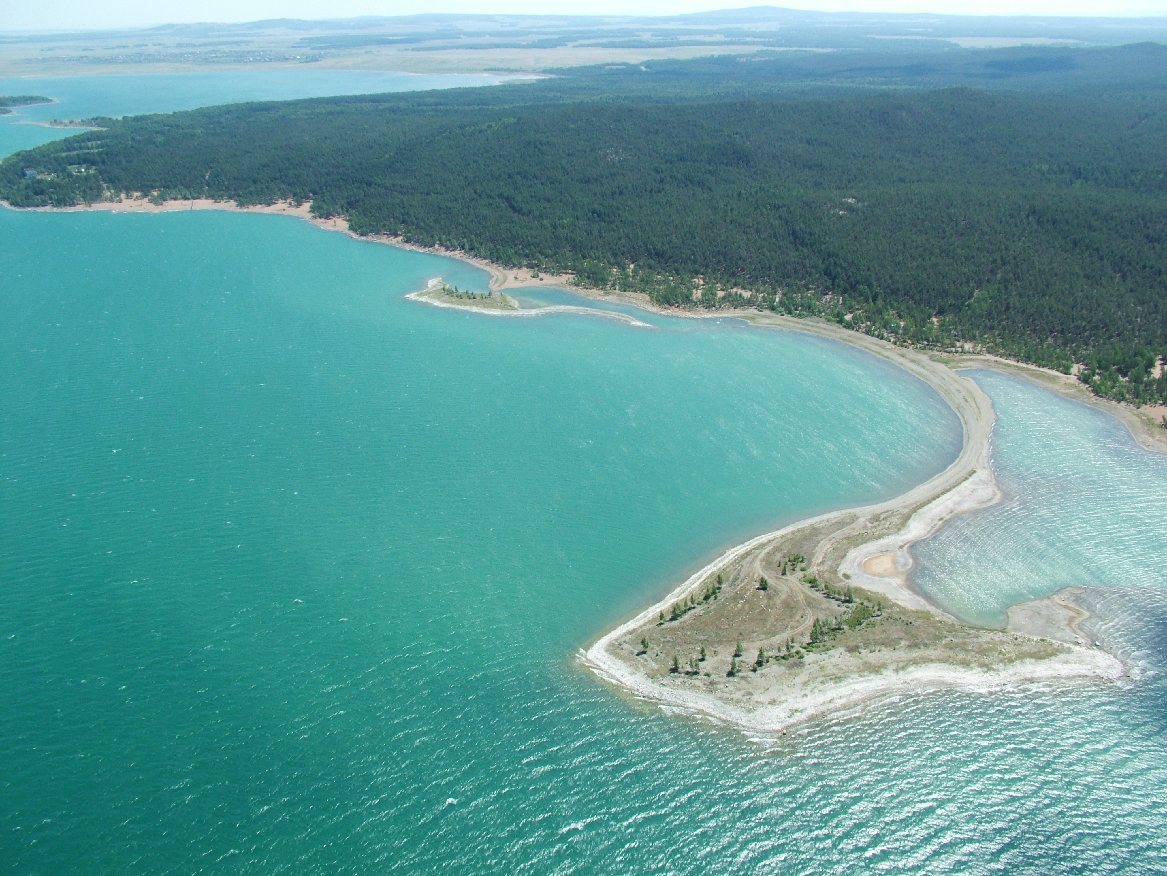
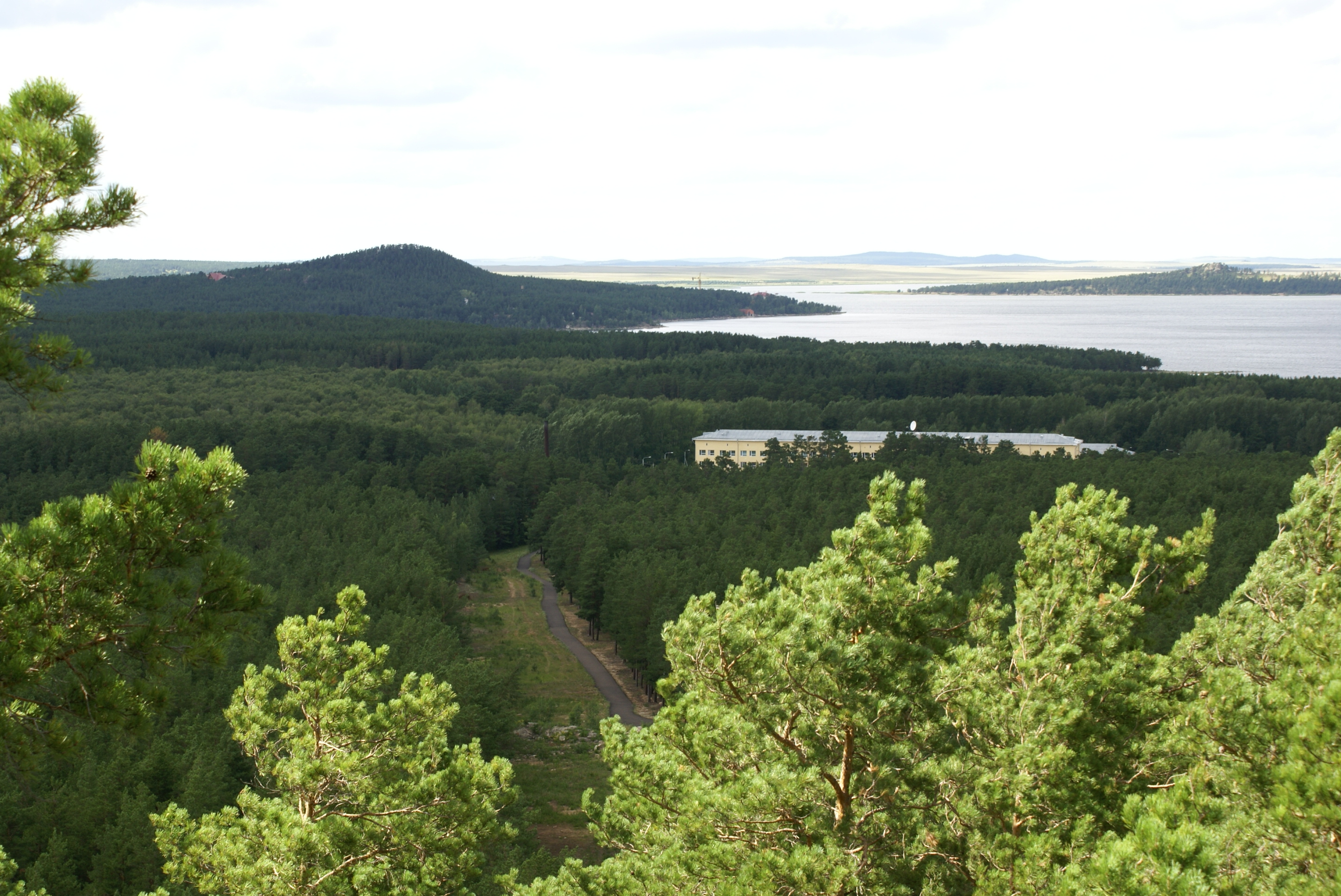
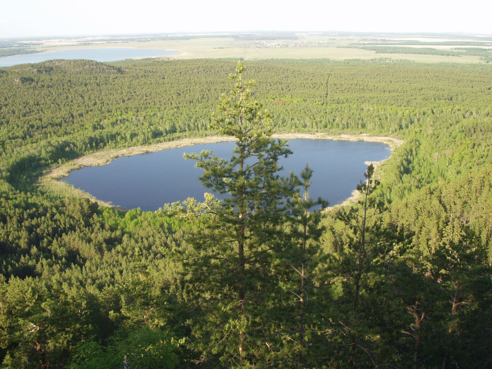
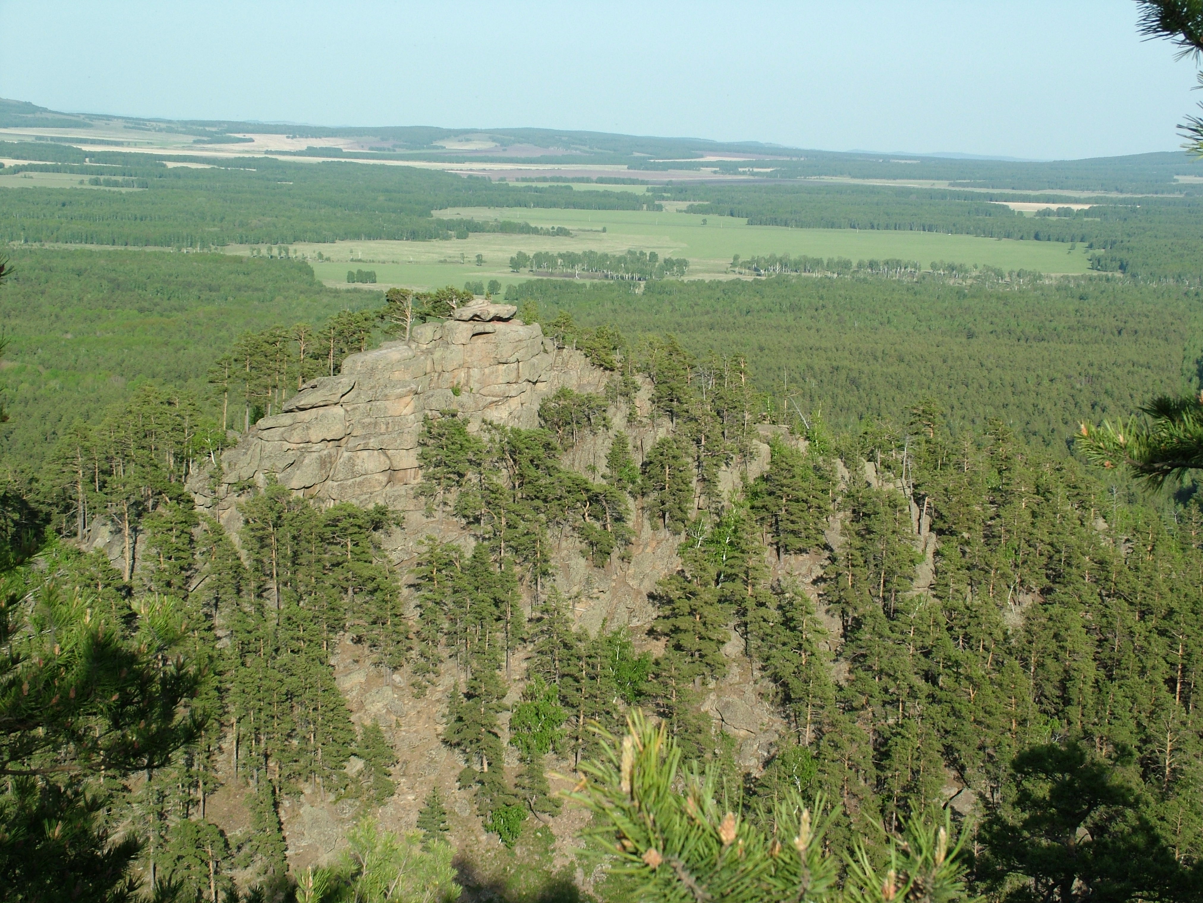
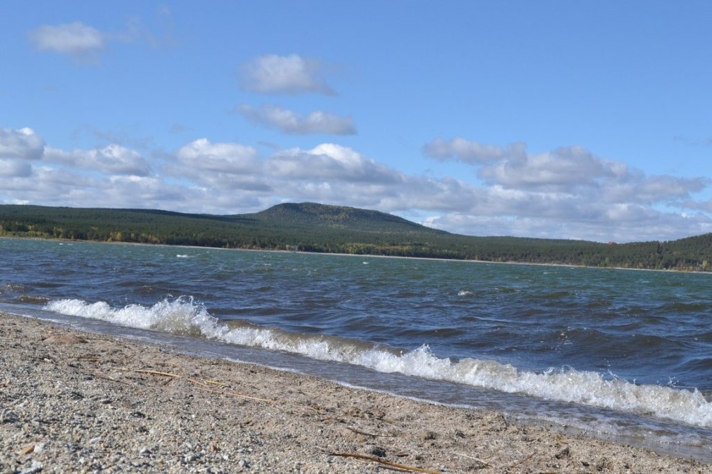
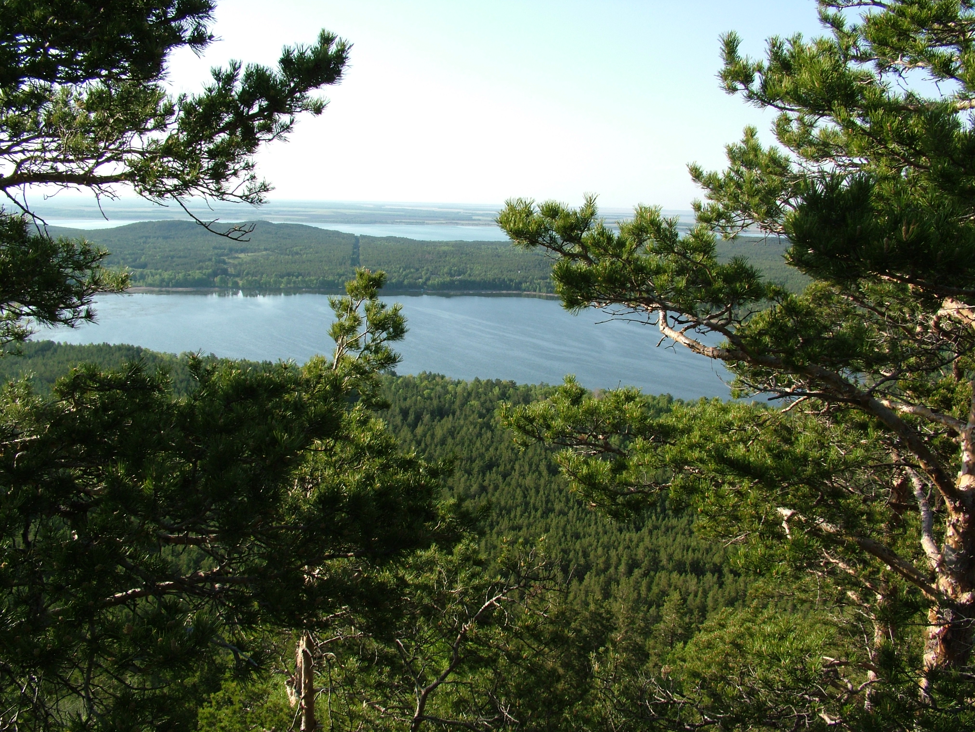
| The National Park is located approximately 60 km southwest of Kokshetau city, on the territory of Aiyrtau and Zerenda districts of Akmola region. On its territory there are lakes Shalkar and Zerendi, Aiyrtau peak. Ridge-hilly plain lands are combined with granite peaks and bumpy hills. |
Flora and fauna
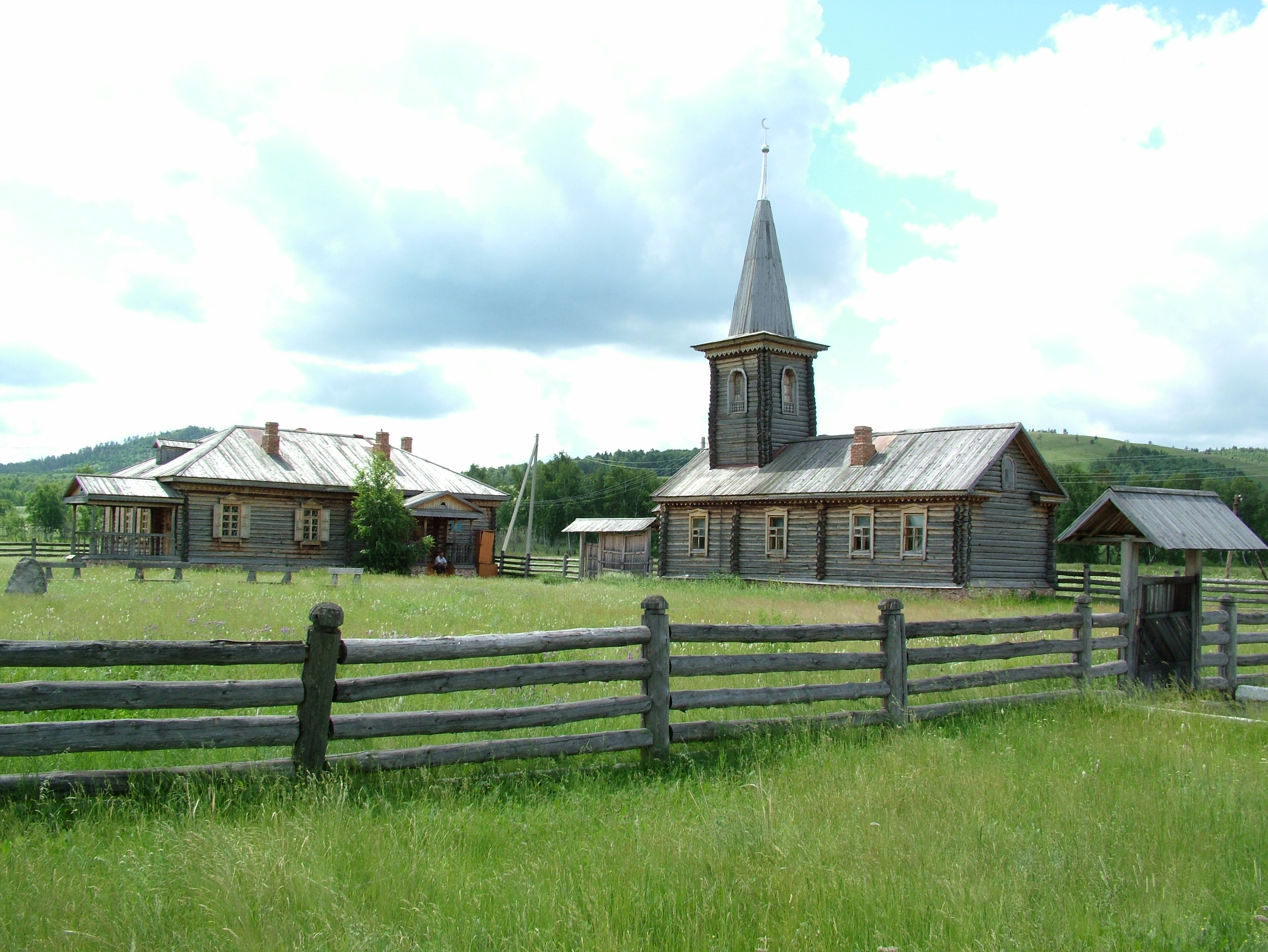
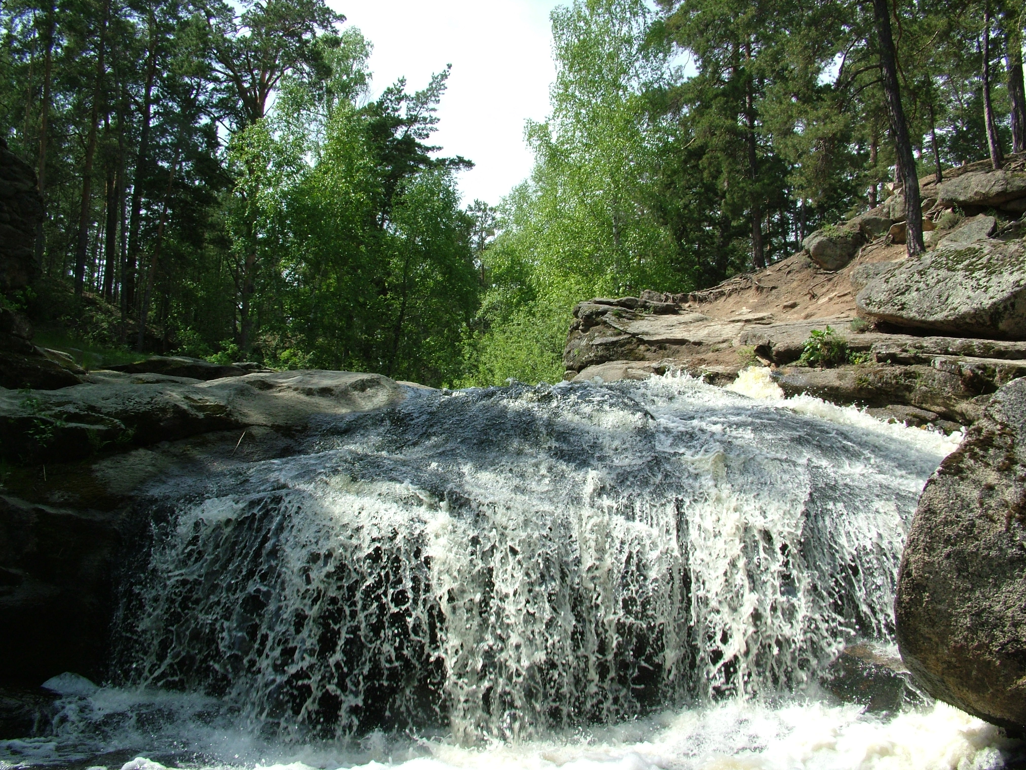
| The territory of the national park belongs to the zone of forest-steppe and steppe natural zones. The vegetation on the territory of the national park is rich in varieties and is closely related to the landscape features of the entire region. Vegetation is represented by the following types: forest, steppe, meadow. The forest openings and river valleys between the forests are covered with grass vegetation. Dense pine forests grow at the foot. The wildlife of the Kokshetau State National Natural Park is very rich. The fauna of vertebrates has 282 species. They are classified as follows: mammals — 47 species, birds — 216 species, reptiles — 7 species, fish — 12 species. Moose deer, roe deer, badger, fox, wolf, marten, squirrel, hare, partridge are typical for the local fauna. On the territory of the National Park there are 13 natural monuments of republican status: Green Cape, Smolnaya Sopka, Strekach Sopka, Raspberry Cape, Pozharnaya Sopka, Two Brothers Sopka, Ostraya Sopka, Waterfall with cave, Split Sopka, Imantau Lake Island (Cossack), Obozrenie Sopka, Kotelok Sopka and Relict massif. |
Climate
| The territory of the Kokshetau national natural park refers to the forest-steppe and steppe climatic zones. The climate is extremely continental, with hot summers and harsh, snow-free winters. The temperature in January ranges from -5 to -35 degrees, in July - from +27 to +35 degrees. The first frosts are observed on average in early September, the last ones are in late May and early June. The total duration of the frost-free period ranges from 111 to 130 days. The annual precipitation ranges from 250-300 mm in the plain part and up to 441 mm in the high part. In the warm season (April-September), an average of 212-254 mm falls in the form of rains, that is, 70-85% of the annual precipitation. Winter precipitation is 93-137 mm, i.e. 15-30%. There is almost twice as much precipitation for each summer month as for the spring one. In summer, rains often have the character of showers and are accompanied by thunderstorms. A stable snow cover is set on average on November 5-10, and it thaws on average on April 10-15. In years with early spring, it thaws at the end of March, and in years with late spring — in the second half of April. |
 +20 °С
 -5-35 °С
 250-300 mm
 +27 - +35 °С
 1-7 m/s
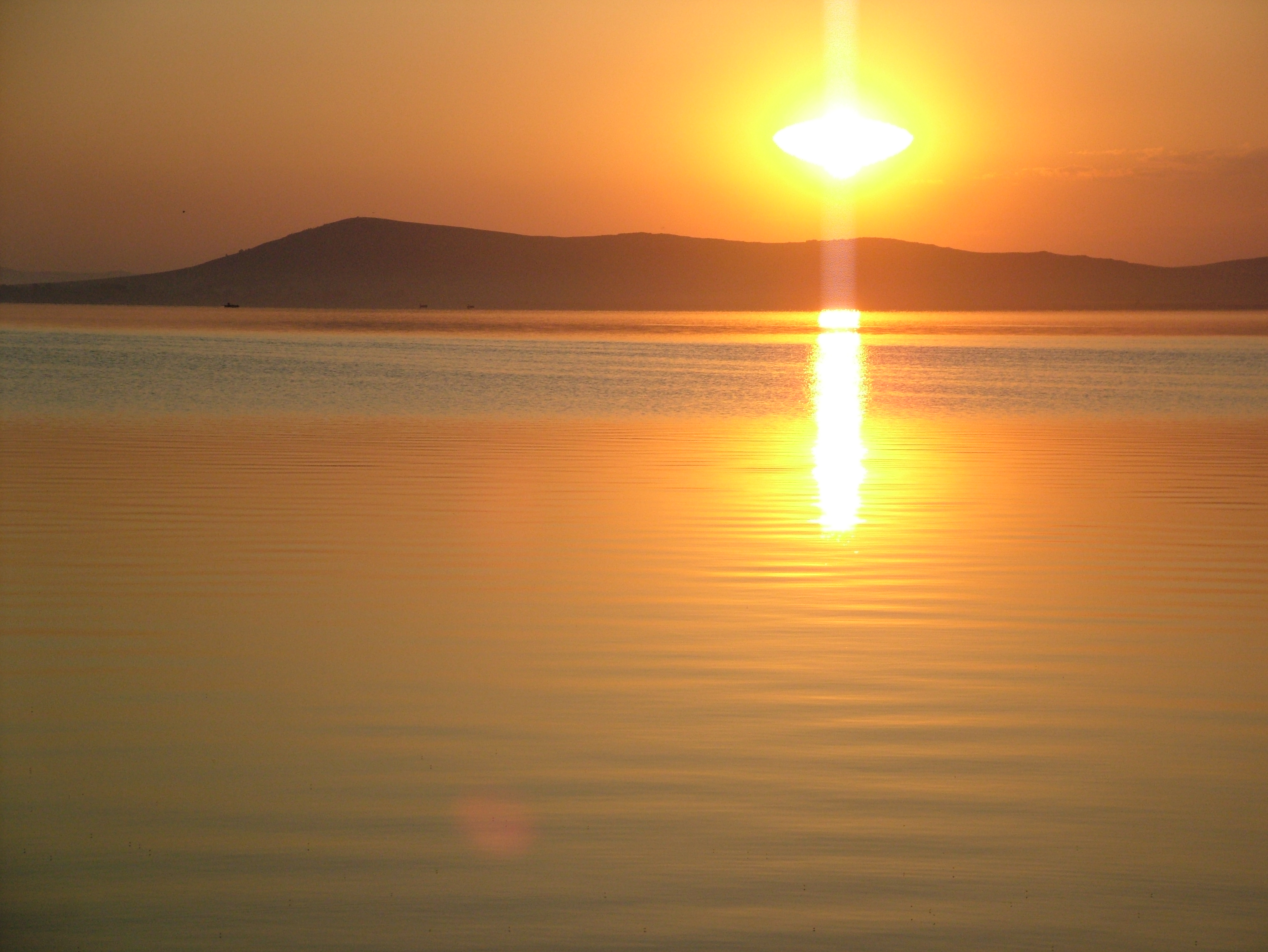
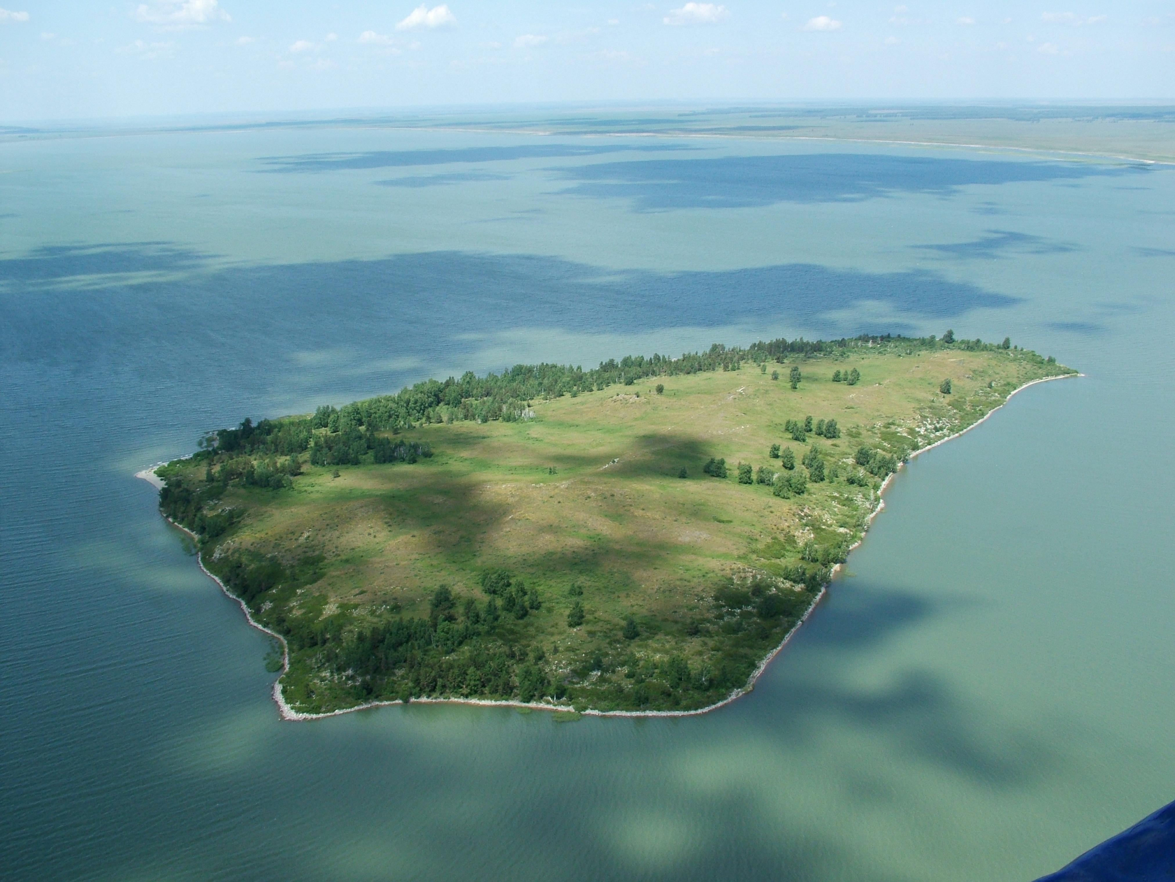
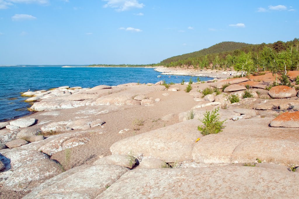
Photo gallery

Contacts
General questions
Expedition, events
Interaction with Media
Legal information
ACCESSION QUESTIONARY
Individual
Status (on the procedure of accession to members and membership in the RPA in PDF format)
Legal entity
Status (on the procedure of accession to members and membership in the RPA in PDF format)

Спасибо!
Ваша заявка успешно отправлена
Мы свяжемся с вами в ближайшее время
Submit a work to the “My Kazakhstan” contest
Спасибо!
Ваше фото успешно отправлено
Ожидайте выбора победителей!
Спасибо!
Ваш заказ успешно отправлен
Мы свяжемся с вами в ближайшее время